- Description
-
Details
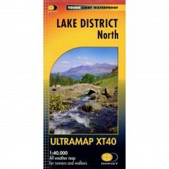
Covers a large area yet is handily compact. Pocket perfect! Detailed map for runners and walkers of the eastern fells of the Lake District National Park at the magic scale of 1:40,000.
Features Glenridding, Helvellyn, High Street and fells east of the Kendal-Keswick road. The Kirkstone Pass, Ullswater, Haweswater and Kentmere are on this sheet. Includes 82 Wainwrights.
Fully detailed genuine HARVEY mapping includes Rights of Way
Use without a map case: tough and 100% waterproof
Opens directly to either side of the sheet
- Additional Information
-
Additional Information
Description Covers a large area yet is handily compact. Pocket perfect! Detailed map for runners and walkers of the eastern fells of the Lake District National Park at the magic scale of 1:40,000.
Features Glenridding, Helvellyn, High Street and fells east of the Kendal-Keswick road. The Kirkstone Pass, Ullswater, Haweswater and Kentmere are on this sheet. Includes 82 Wainwrights.
Fully detailed genuine HARVEY mapping includes Rights of Way
Use without a map case: tough and 100% waterproof
Opens directly to either side of the sheet
SKU 66703 Brand No - Reviews
-